The collection
20 models across 4 countries, every one built from real elevation data. Three sizes, three finishes, printed to order in the USA and shipped in 3 to 7 business days.
20 models
United States
Volcanoes through the Cascades, granite in the Sierra, and the high country of Colorado, Wyoming and Alaska.
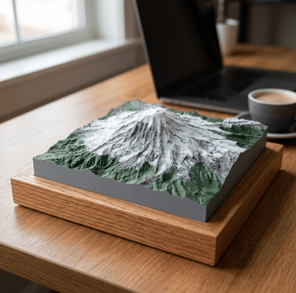
Mount Rainier
from $40Cascade Range
14,411 ft · 4,392 m
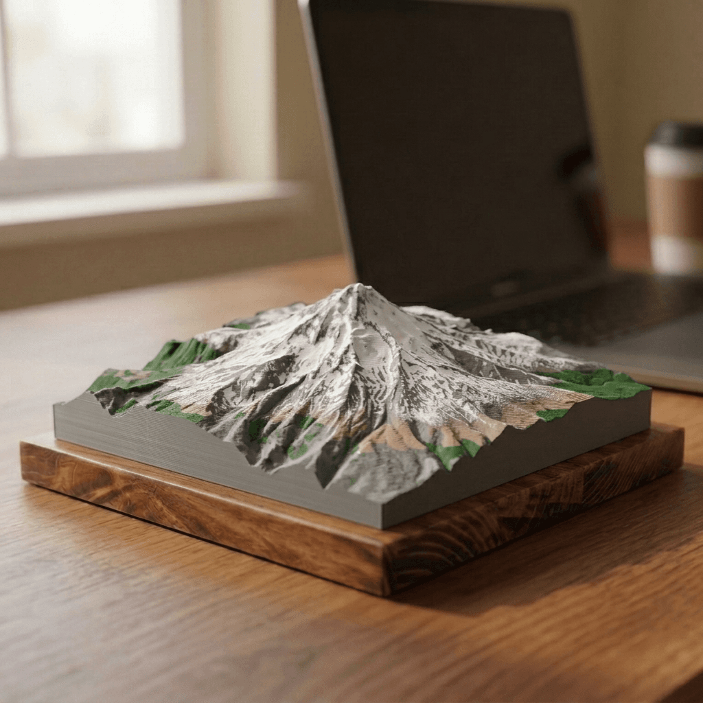
Mount Hood
from $40Cascade Range
11,249 ft · 3,429 m
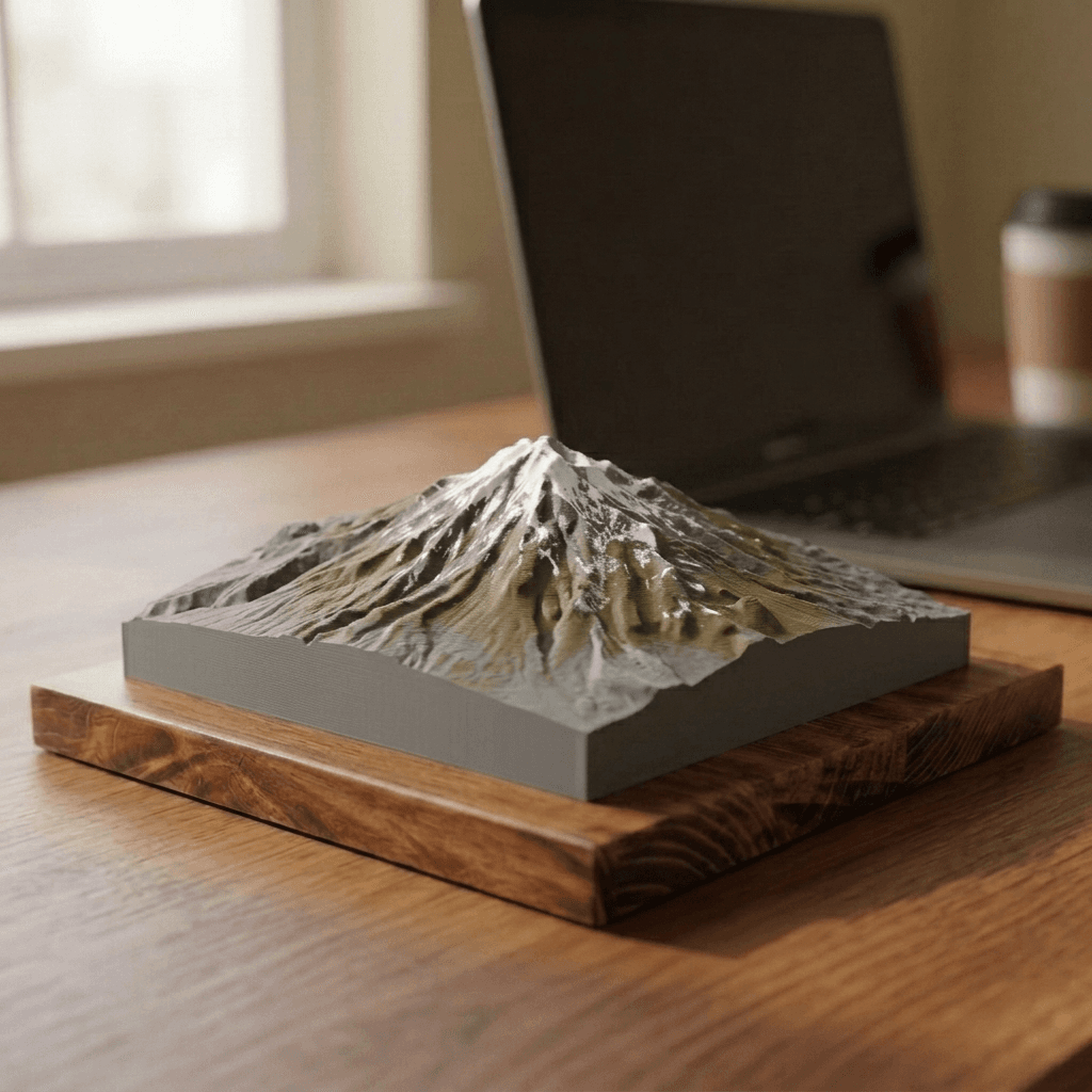
Mount Shasta
from $40Cascade Range
14,179 ft · 4,322 m
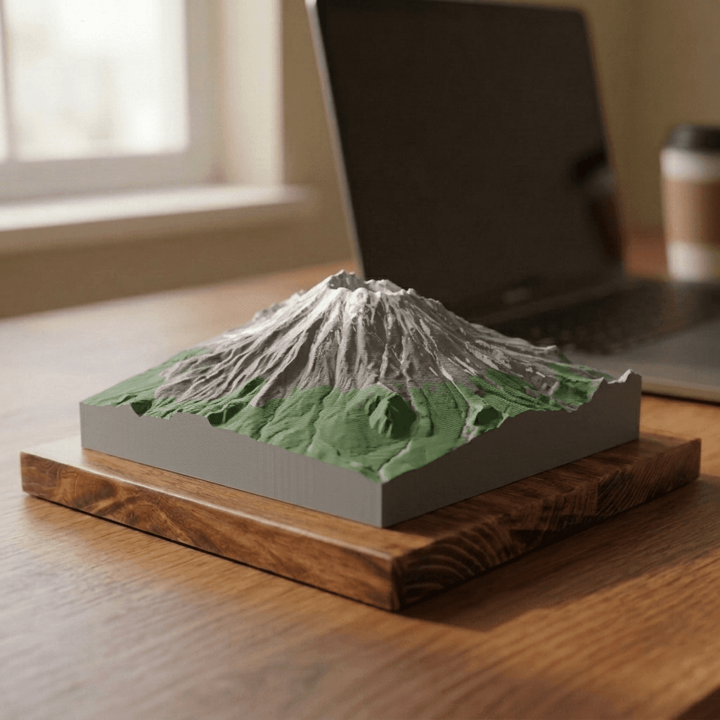
Mount St. Helens
from $40Cascade Range
8,363 ft · 2,549 m
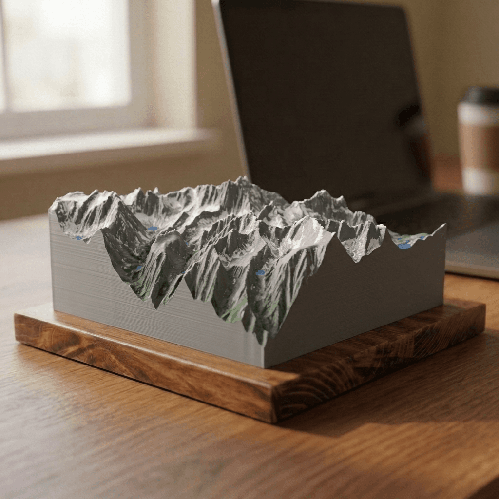
Mount Whitney
from $40Sierra Nevada
14,505 ft · 4,421 m
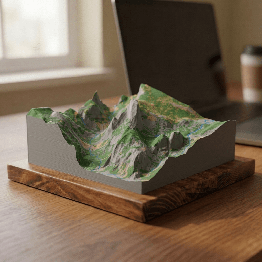
Half Dome
from $40Sierra Nevada
8,846 ft · 2,696 m
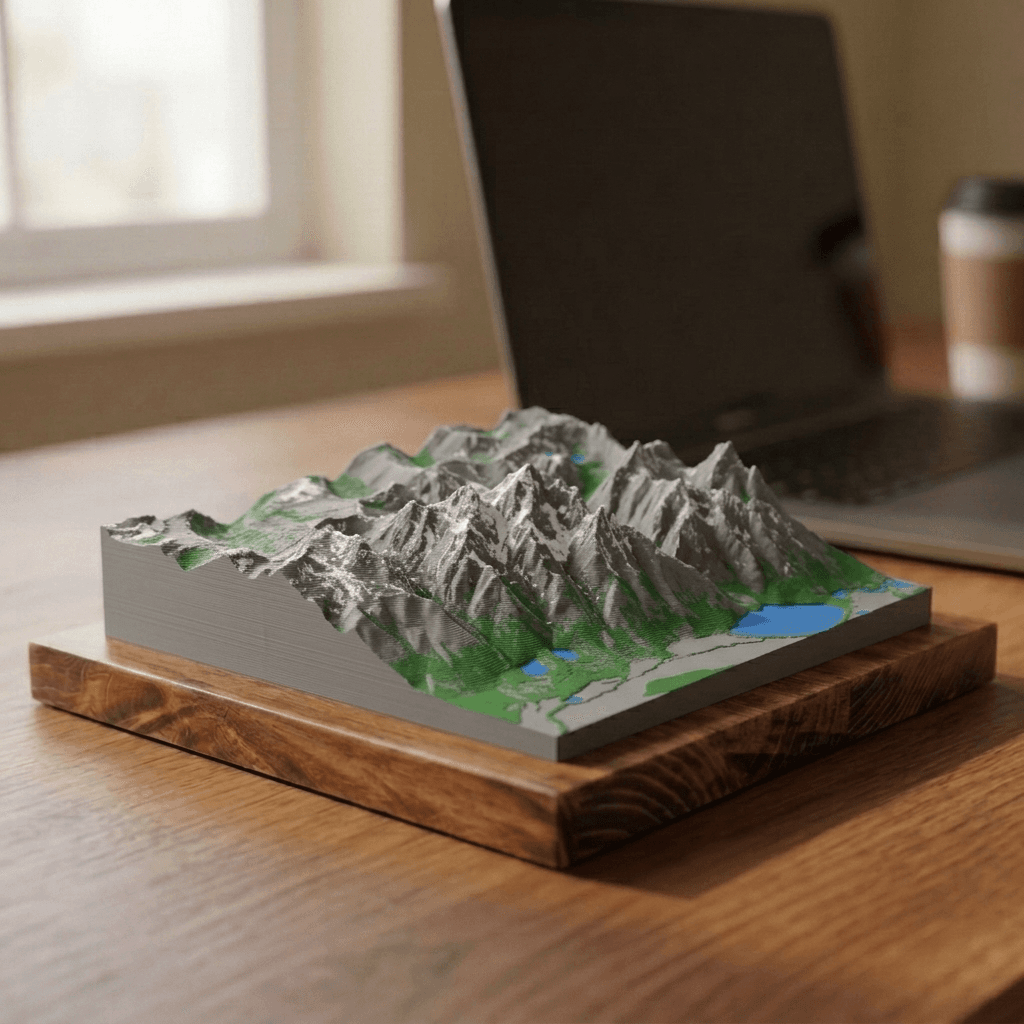
Grand Teton
from $40Teton Range
13,775 ft · 4,199 m
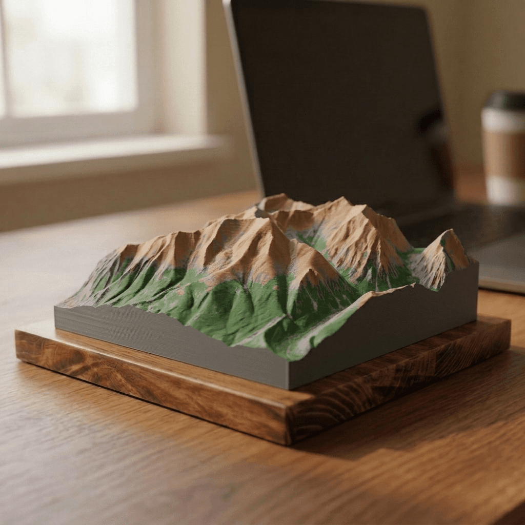
Mount Elbert
from $40Sawatch Range
14,440 ft · 4,401 m
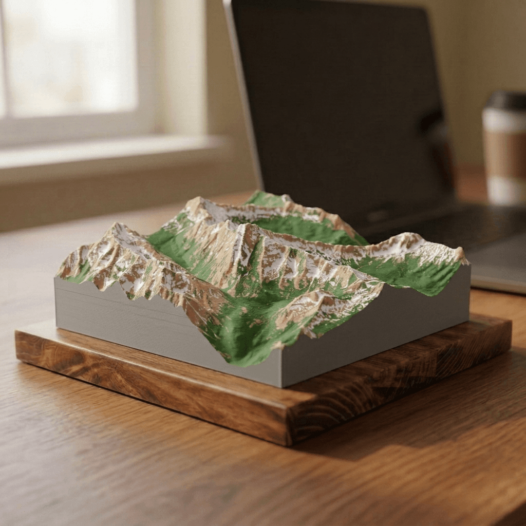
Maroon Bells
from $40Elk Mountains
14,163 ft · 4,317 m
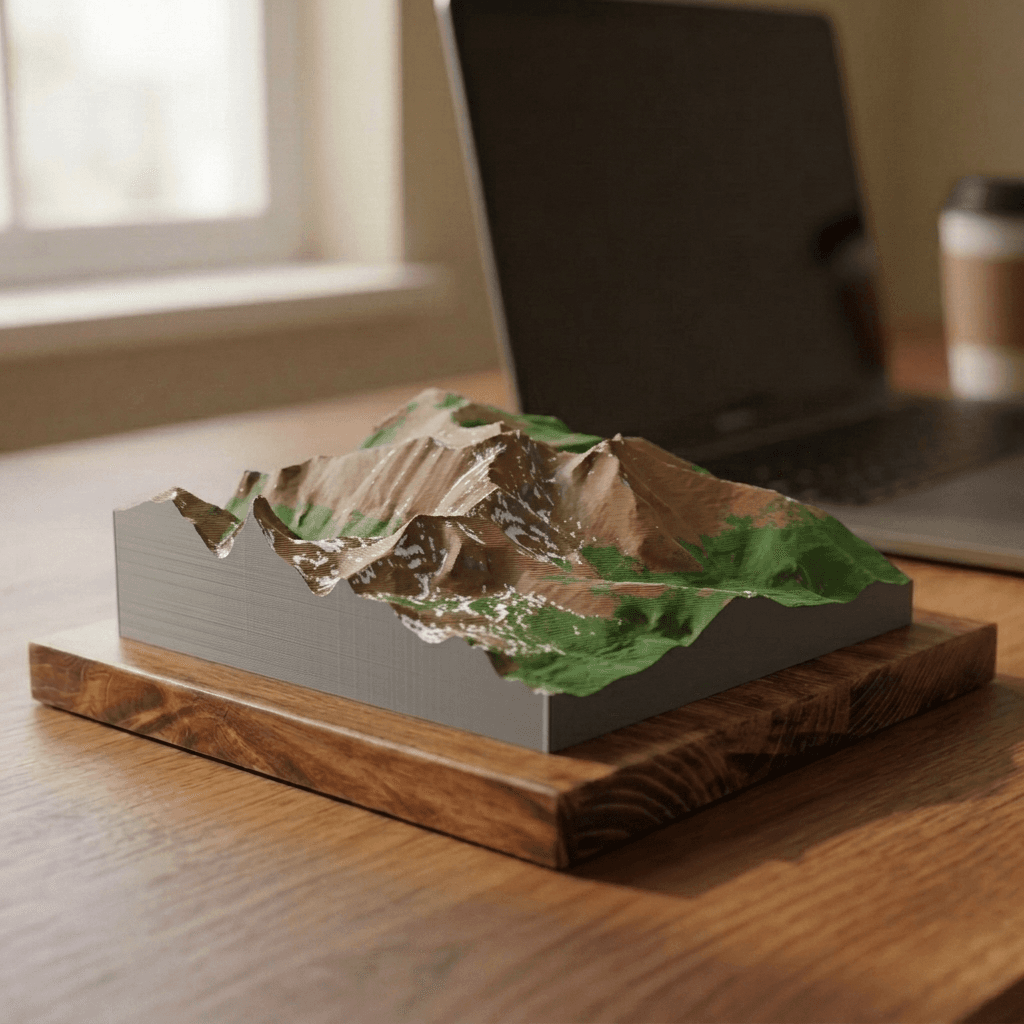
Longs Peak
from $40Front Range
14,259 ft · 4,346 m
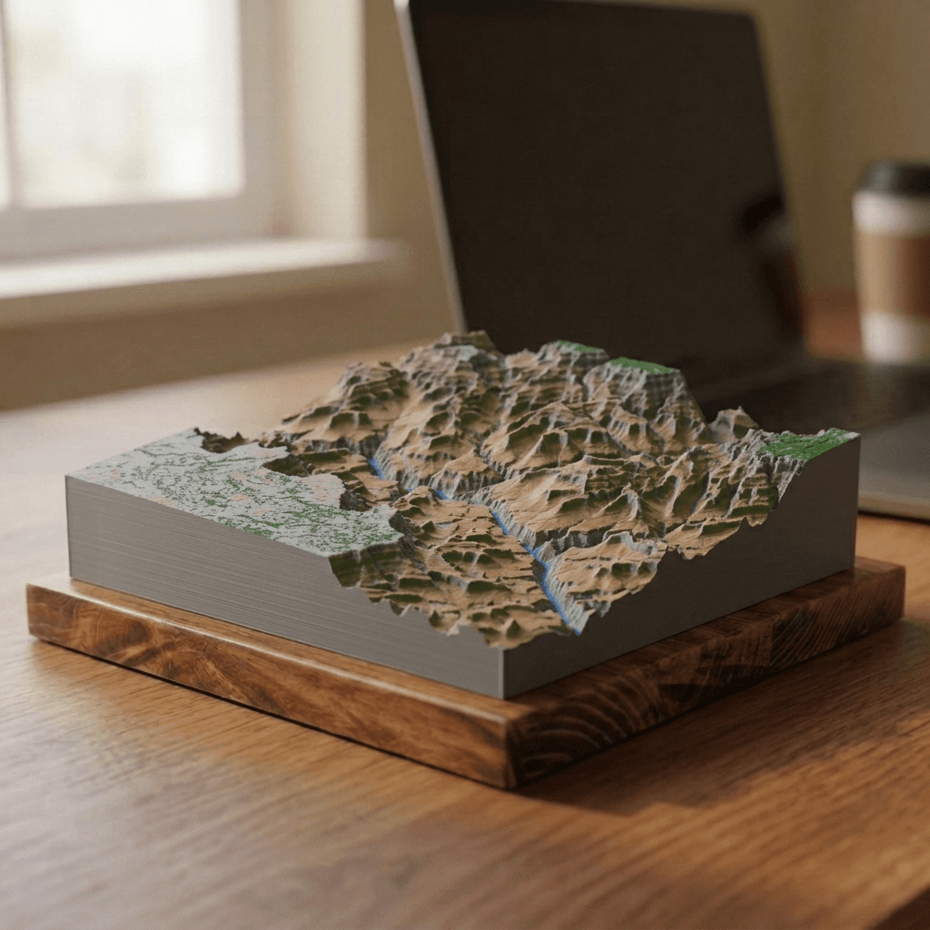
Grand Canyon
from $40Colorado Plateau
6,860 ft · 2,090 m
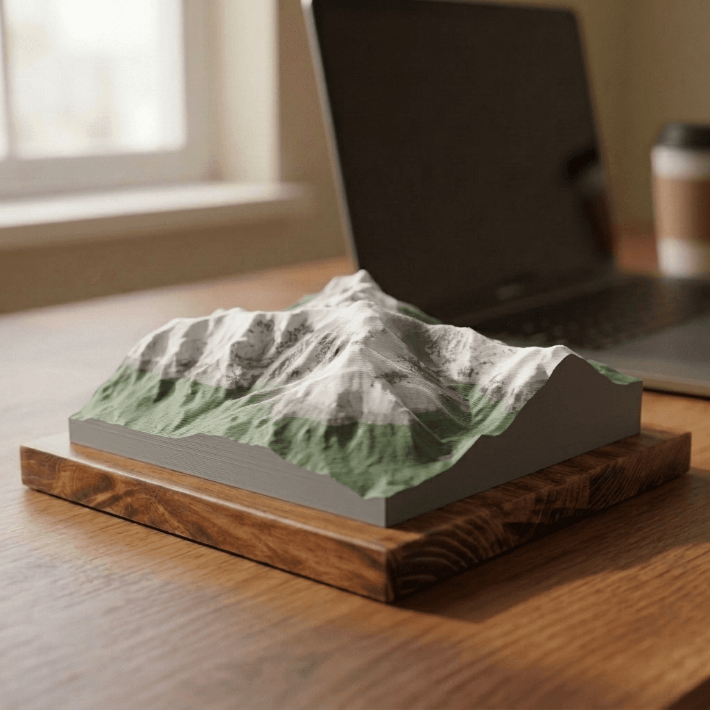
Mount Washington
from $40Presidential Range
6,288 ft · 1,917 m
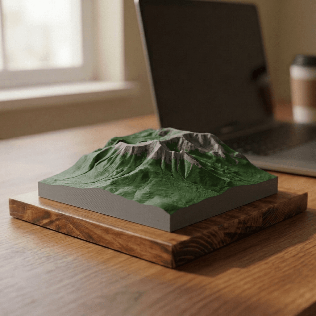
Mount Katahdin
from $40Appalachian Mountains
5,269 ft · 1,606 m
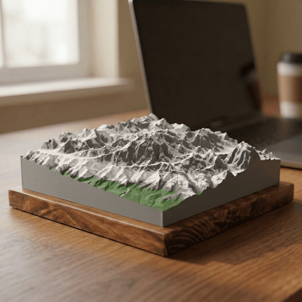
Denali
from $40Alaska Range
20,310 ft · 6,190 m
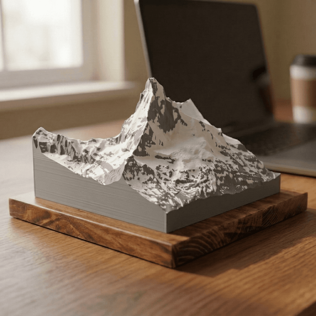
Switzerland
The Bernese Oberland and the Pennine Alps, home to the most recognizable mountains in Europe.
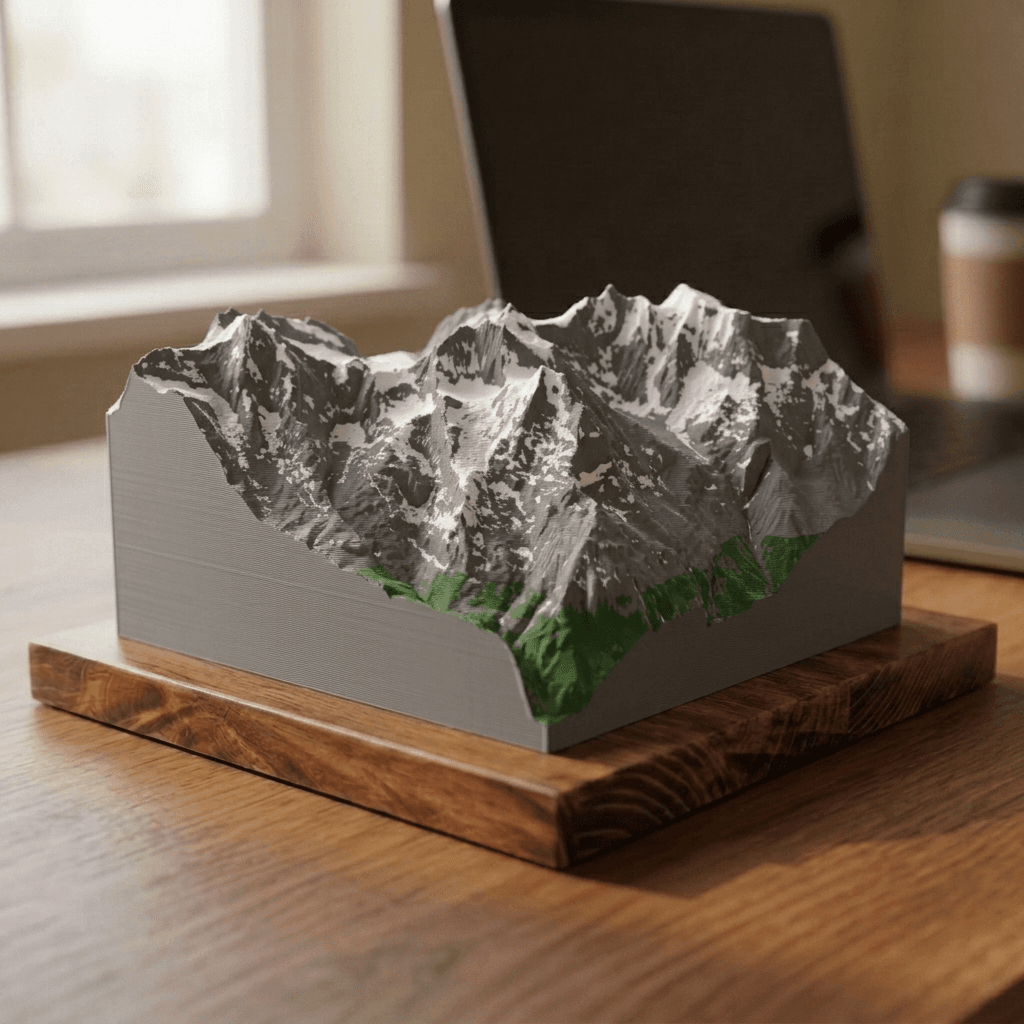
France & Italy
The western Alps: the highest summit in western Europe.
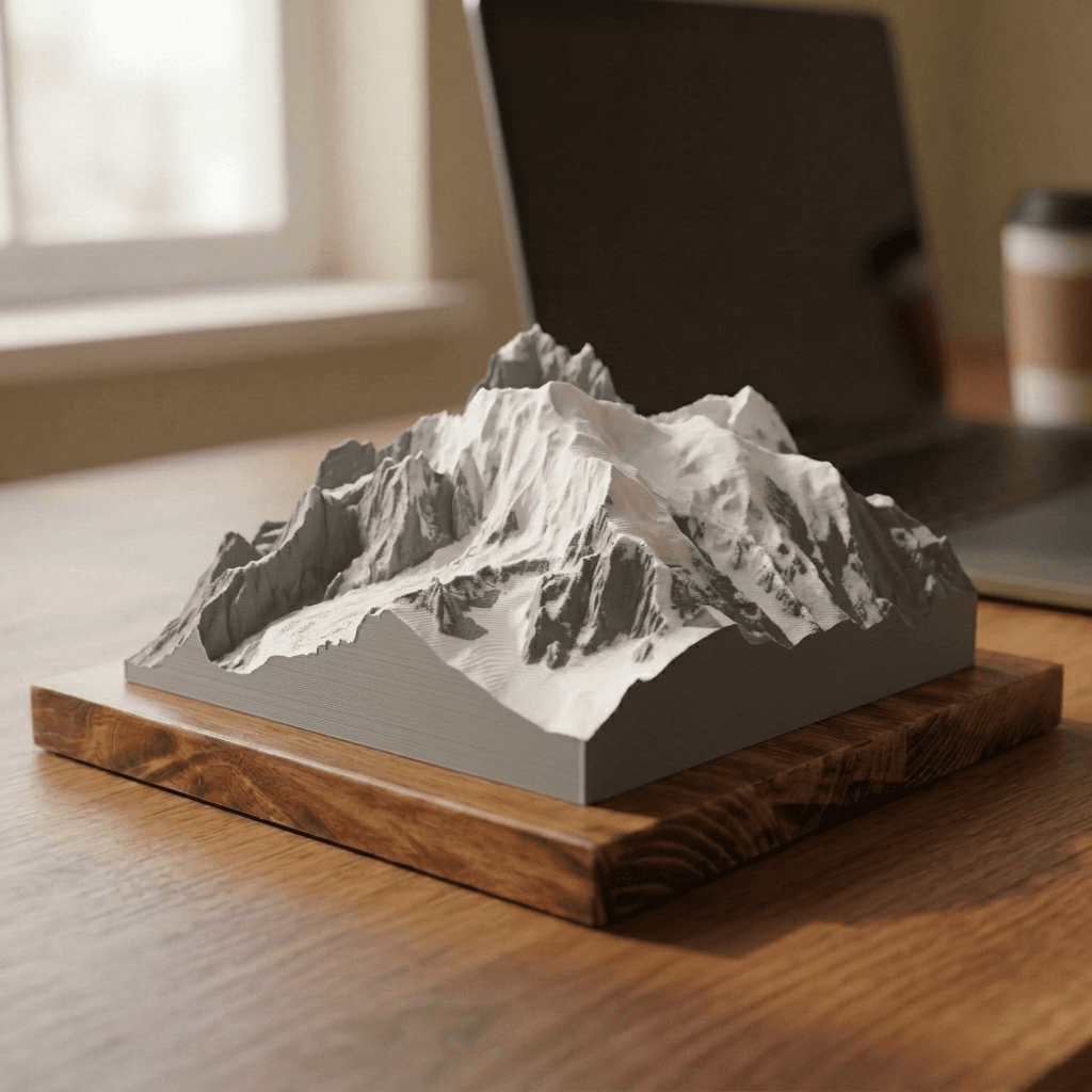
Nepal
The highest ground on Earth, mapped at a coarser resolution than anywhere else in the catalog.
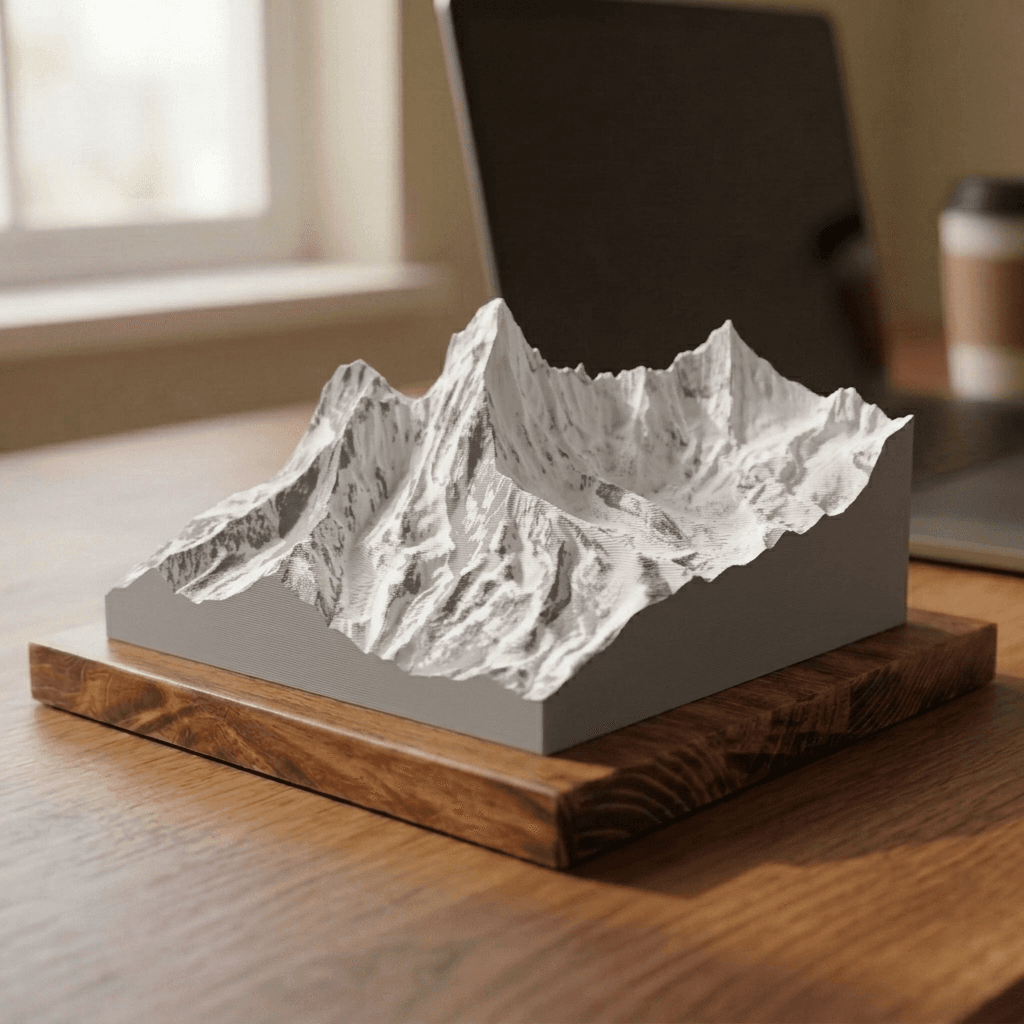
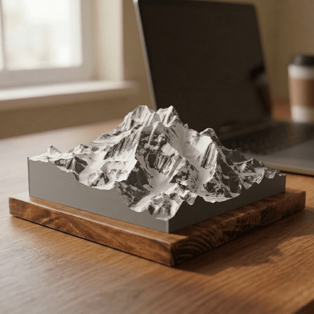
Do not see what you have in mind? Request a custom peak. Elevation data quality varies by region, so we cannot promise every mountain — but custom builds are the most interesting work we do.