United States
The United States is the best-mapped country in our catalog. Public lidar covers most of the lower 48 at one to three meter resolution, which is fine enough to hold a couloir, a switchback, or the rim of a crater. These models span the Cascade volcanoes, the granite of the Sierra Nevada, the Colorado fourteeners, the Tetons, the White Mountains, and Denali.
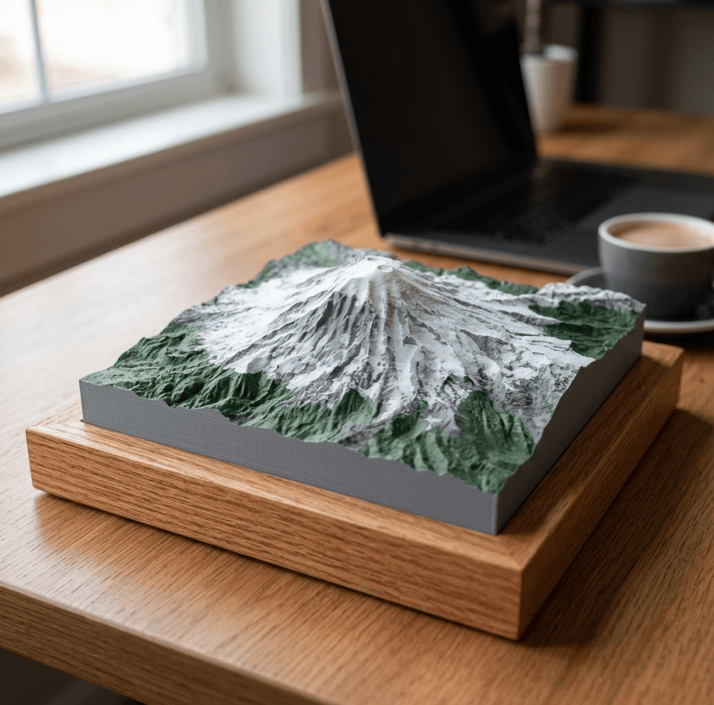
Mount Rainier
from $40Cascade Range
14,411 ft · 4,392 m
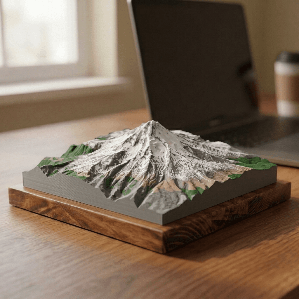
Mount Hood
from $40Cascade Range
11,249 ft · 3,429 m
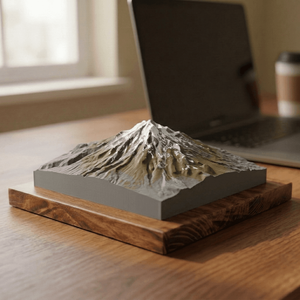
Mount Shasta
from $40Cascade Range
14,179 ft · 4,322 m
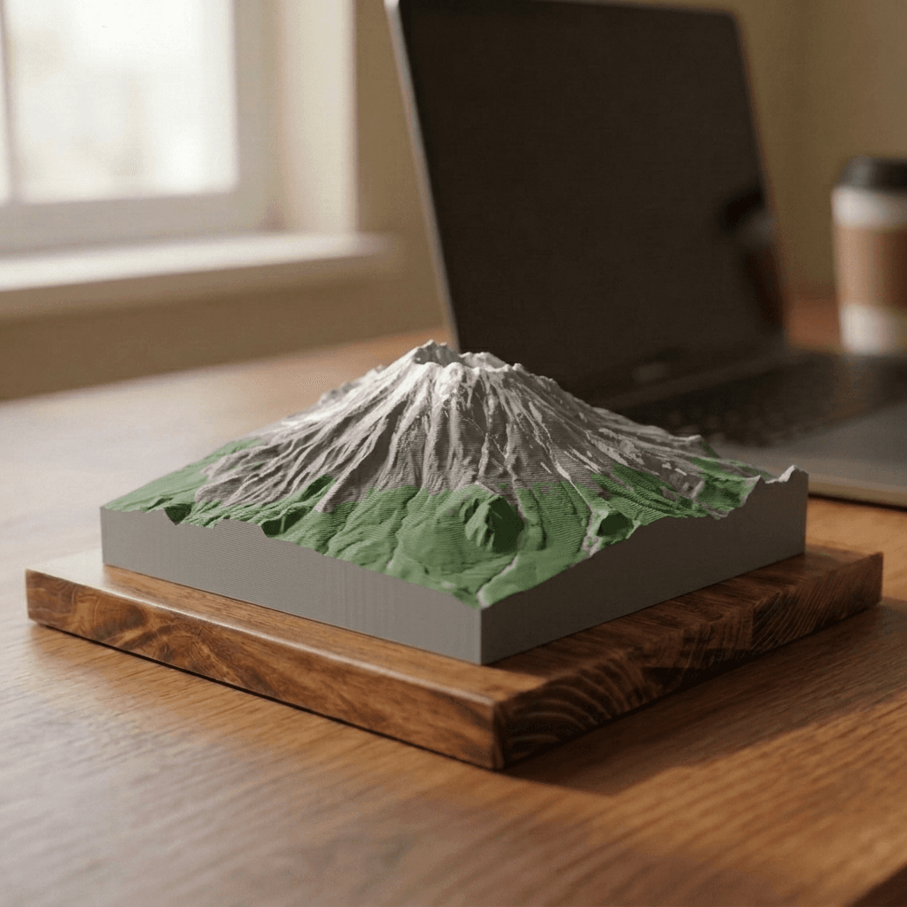
Mount St. Helens
from $40Cascade Range
8,363 ft · 2,549 m
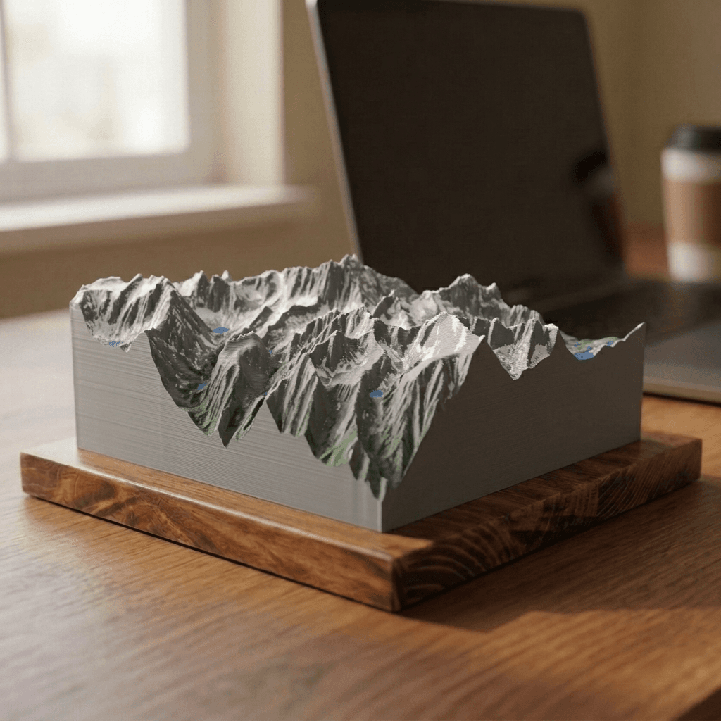
Mount Whitney
from $40Sierra Nevada
14,505 ft · 4,421 m
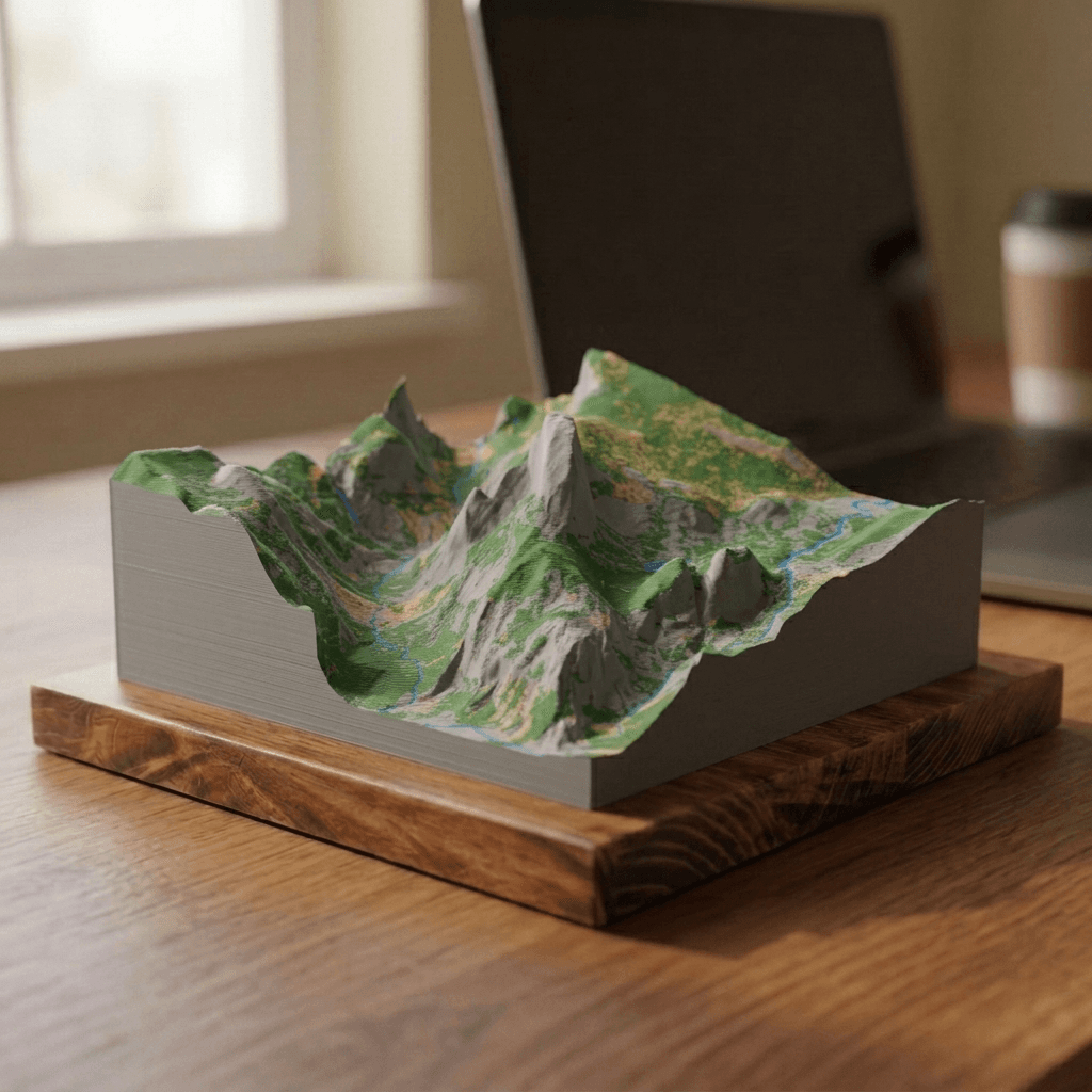
Half Dome
from $40Sierra Nevada
8,846 ft · 2,696 m
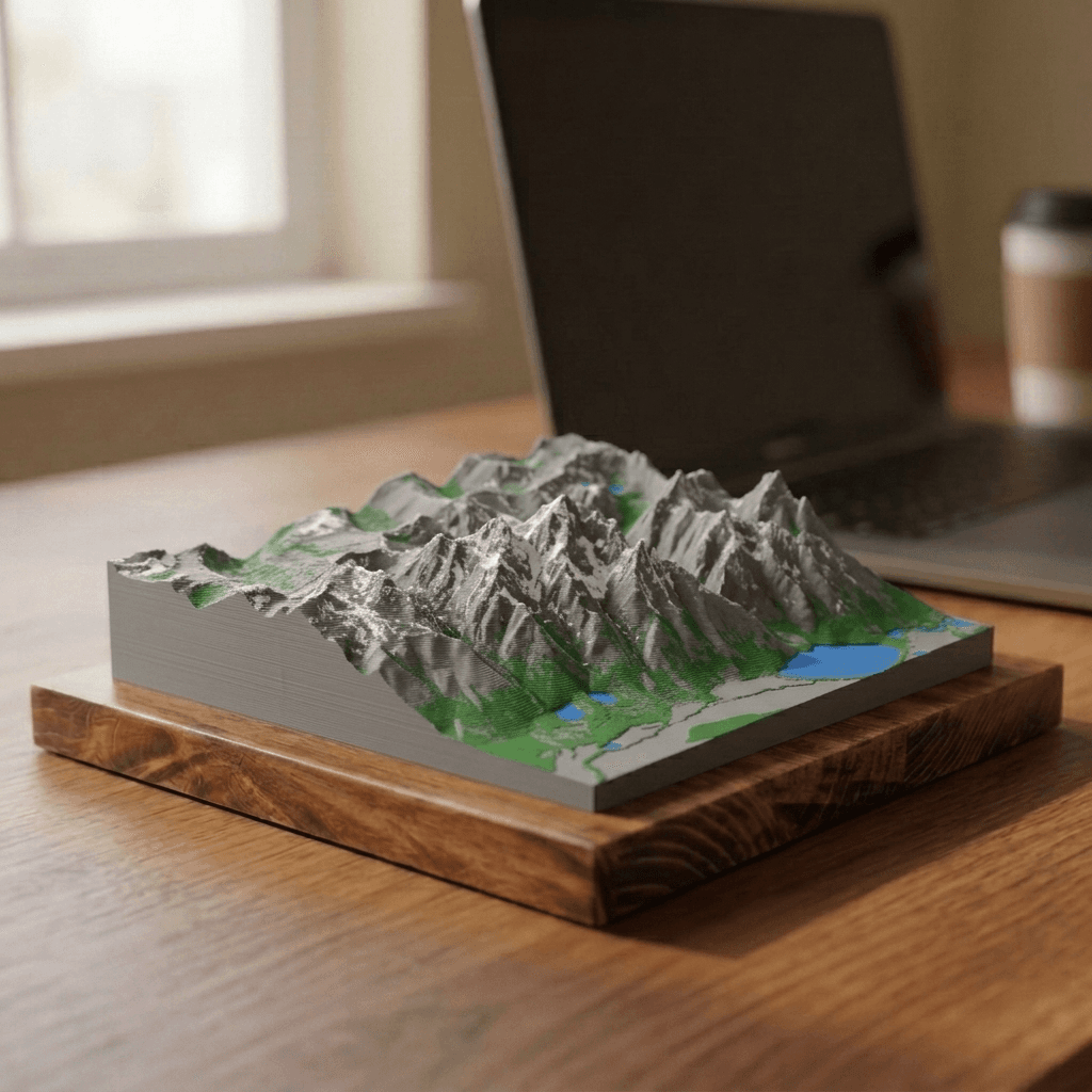
Grand Teton
from $40Teton Range
13,775 ft · 4,199 m
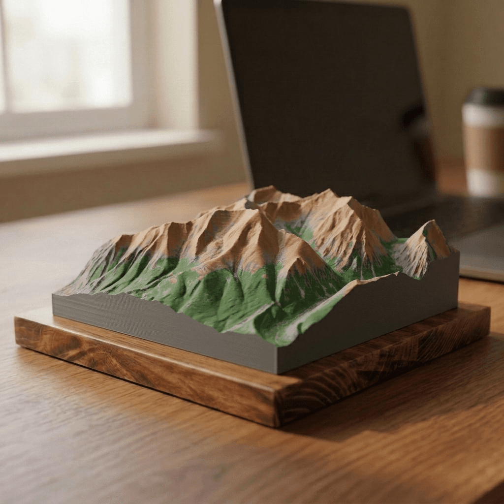
Mount Elbert
from $40Sawatch Range
14,440 ft · 4,401 m
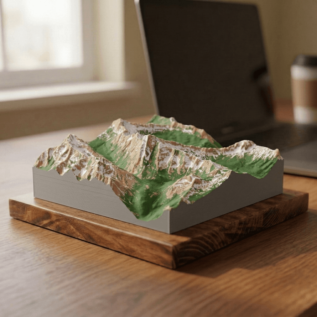
Maroon Bells
from $40Elk Mountains
14,163 ft · 4,317 m
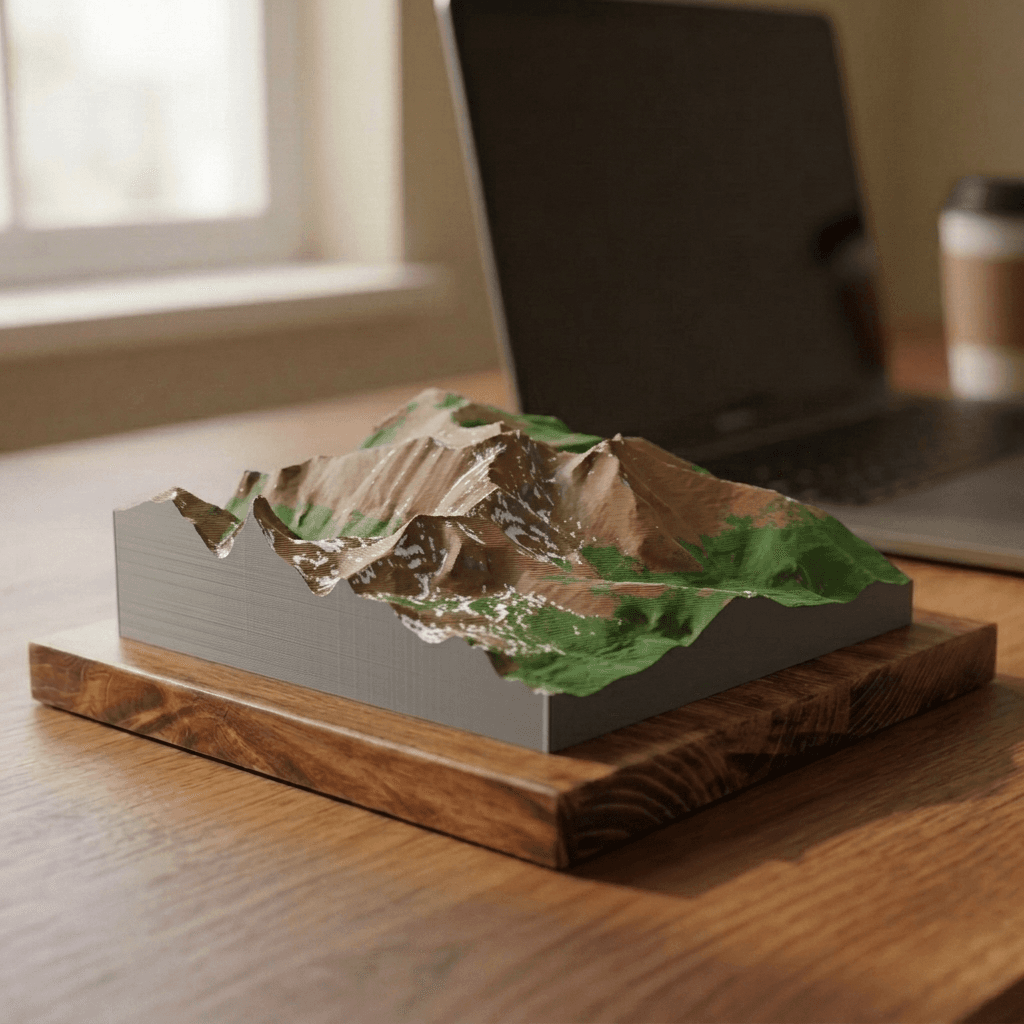
Longs Peak
from $40Front Range
14,259 ft · 4,346 m
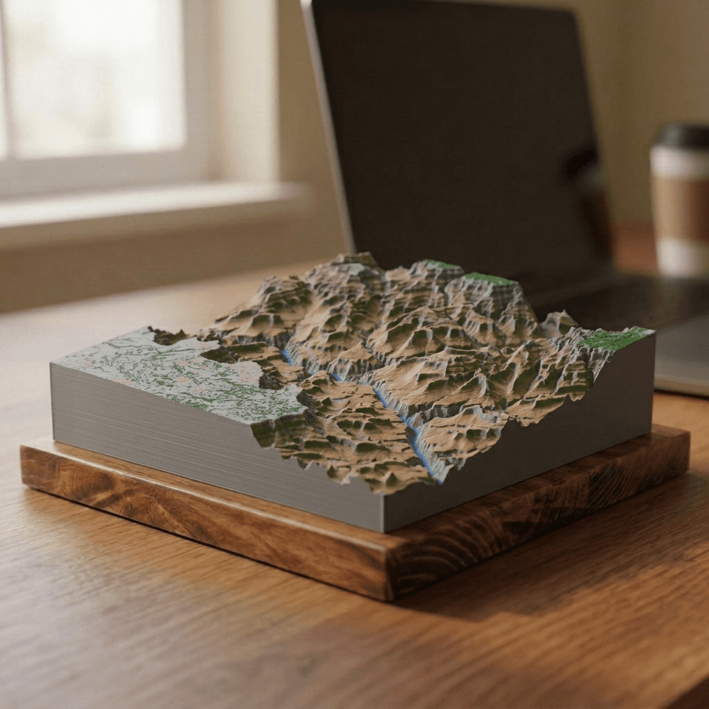
Grand Canyon
from $40Colorado Plateau
6,860 ft · 2,090 m
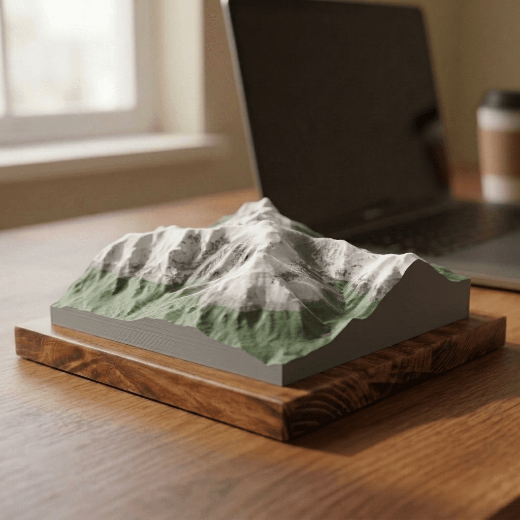
Mount Washington
from $40Presidential Range
6,288 ft · 1,917 m
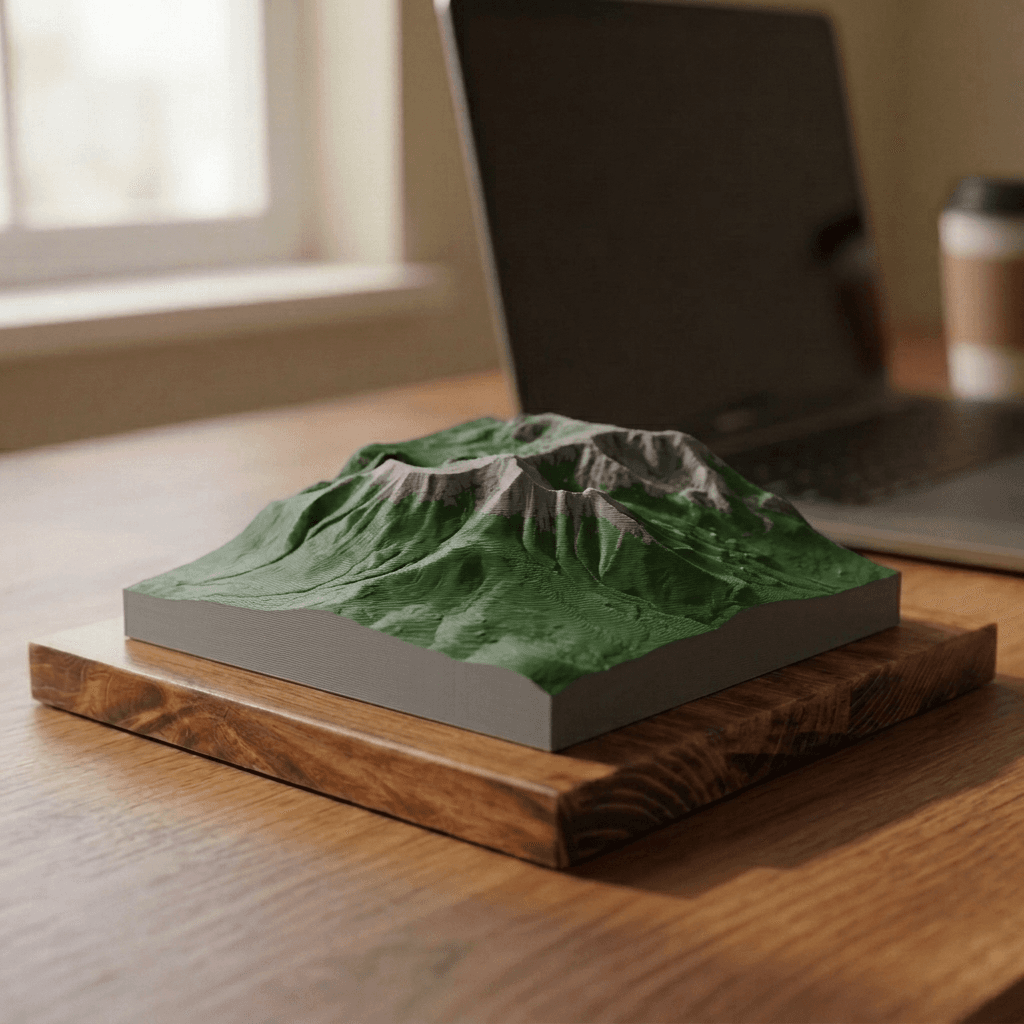
Mount Katahdin
from $40Appalachian Mountains
5,269 ft · 1,606 m
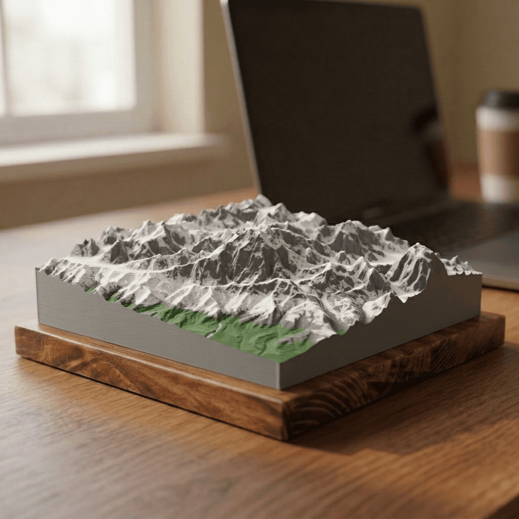
Denali
from $40Alaska Range
20,310 ft · 6,190 m