Nepal
The Himalaya sits at the edge of what public elevation data can currently do. There is no national lidar program at this altitude and remoteness, so the best available coverage is a global satellite-derived model at 30 meters — coarser than the 1-to-3-meter data behind everything else here. That's a genuine open question for whether a piece holds up at model scale, not a formality.
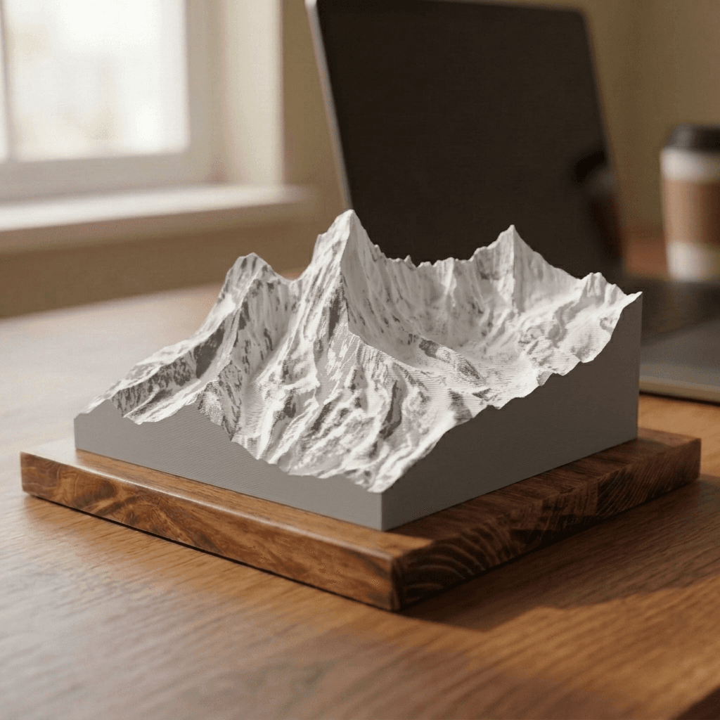
Ama Dablam
from $40Mahalangur Himal
22,349 ft · 6,812 m
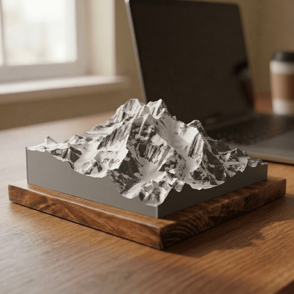
Everest
from $40Mahalangur Himal
29,032 ft · 8,849 m