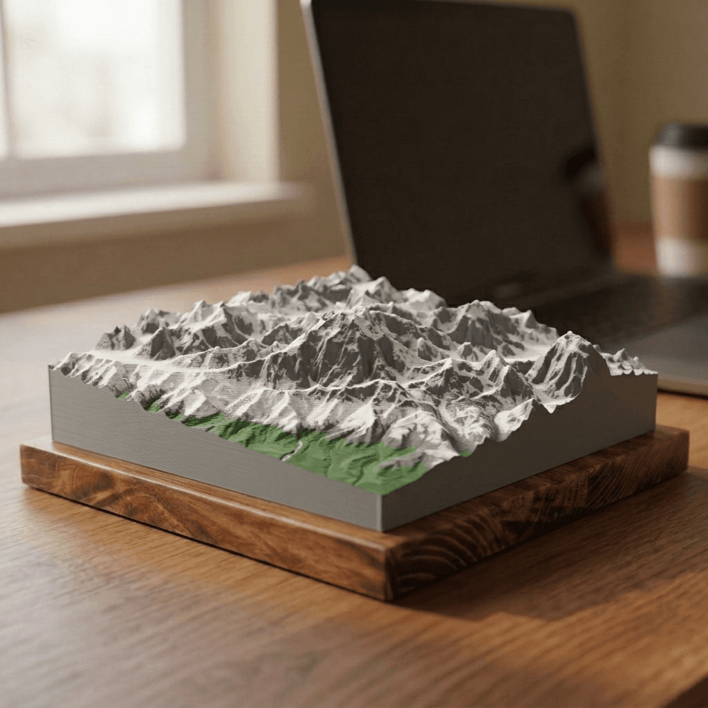
Denali 3D Terrain Relief
- Mountain range
- Alaska Range
- Location
- Alaska, United States
- Elevation
- 20,310 ft · 6,190 m
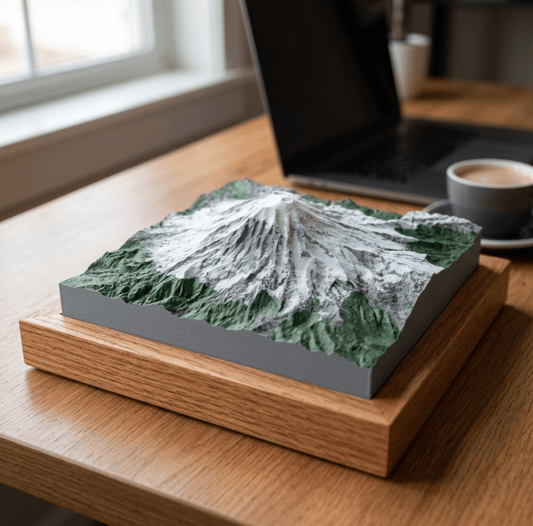
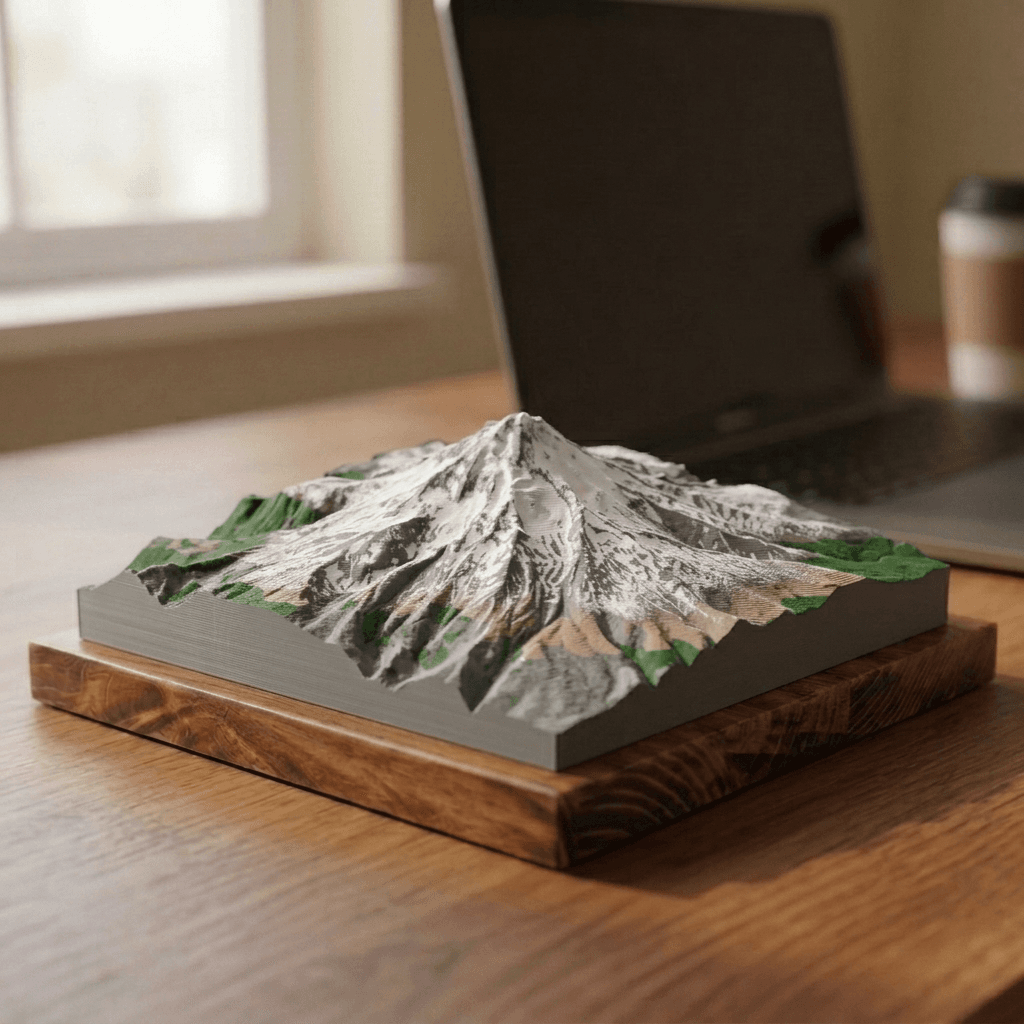
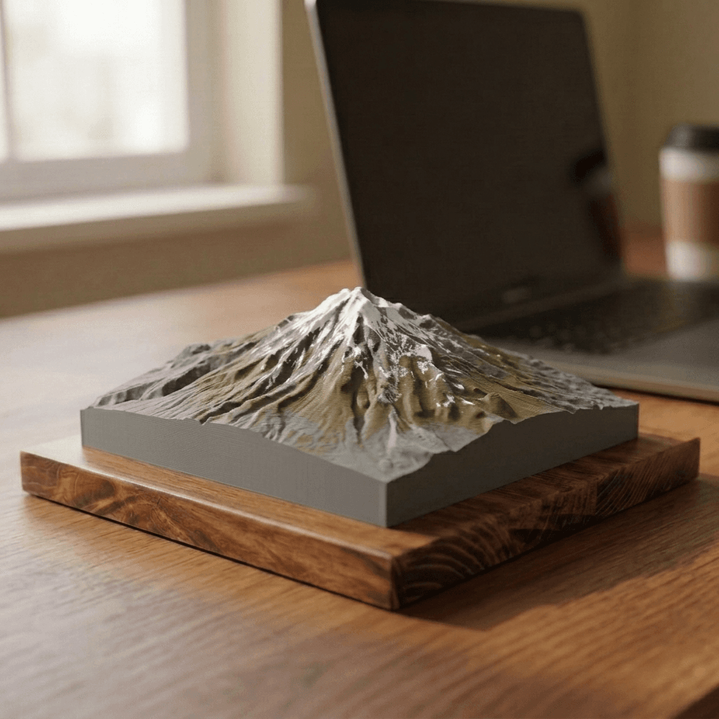
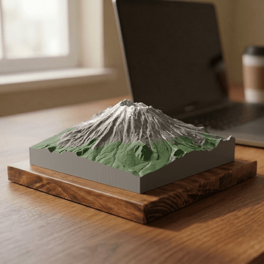
A precision 3D-printed relief model of Denali, the highest peak in North America.
$110
- Made to order in the USA
- Shipping calculated at checkout
- Wrong or damaged? Free replacement
- Makes a thoughtful gift
Allow 3 to 7 business days for production before shipping.
Looking for a different peak? Request a custom one.
Size comparison
All three sizes drawn to scale next to each other. Actual base footprint may run a little larger than the printed relief itself.
Specifications
- Range
- Alaska Range
- Location
- Alaska, United States
- Elevation
- 20,310 ft · 6,190 m
- Model size
- 15 × 15 cm
- Finish
- Multicolor
- Material
- Matte PLA, a plant-based plastic
- Base
- Solid wood
- Source data
- USGS IFSAR Alaska, ~5 m
- Vertical scale
- Exaggerated slightly so the terrain reads clearly at model size
- Production
- Printed to order in the USA, 3–7 business days
How it is made
Every model starts as real elevation data. We take publicly available digital elevation models of the mountain, process the terrain in GIS software, and build the geometry from the actual topography. Every glacier, buttress, and ridge sits where it does in the real world, not where an artist decided it should go.
Denali is the highest peak in North America and, measured from base to summit, one of the largest land mountains on earth. Alaska is surveyed with a statewide radar elevation product rather than the airborne lidar used across the Lower 48. The source data is slightly coarser as a result, though at model scale the difference is not visible.
The relief is printed in matte PLA and finished by hand, then mounted to a wood base. Choose a single-color finish for a clean, sculptural look, or a multi-color finish colored from real satellite imagery, true to what the mountain actually looks like.
Made to order. Please allow 3 to 7 business days for production before shipping.